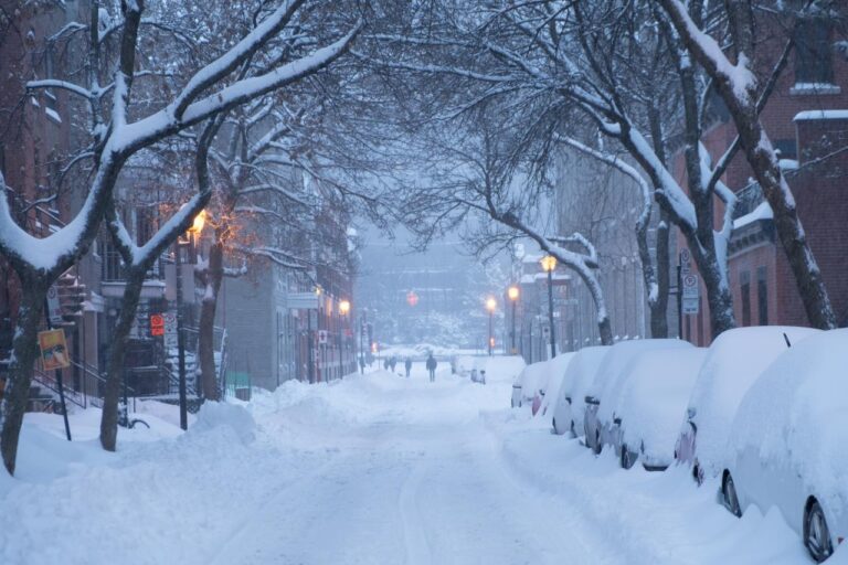
A messy mixture of snow and rain is expected to hit Toronto on Tuesday but it’s unlikely to stick around.
CP24 Meteorologist Bill Coulter says that a “moisture rich system” is expected to take shape and arrive in the GTA on Tuesday afternoon and linger into Wednesday morning.
Coulter says that weather models suggest that the system will arrive as wet snow before changing over to rain Tuesday evening. The rain will linger overnight before changing back to flurries Wednesday morning as the system pulls away, he said.
Total snowfall accumulations are expected to range between five and 15 centimetres whereas rainfall amounts could total 20 to 30 millimetres, Coulter said.
“Small changes in the exact track of the system could drastically change the mix of rain and snow resulting in less or more accumulations,” Coulter said. “Snow [and/or] rain totals will become more defined as the storm approaches.”
While Coulter added that “it’s too early to be confident in accumulations,” he expects there to be a few centimetres of snow still on the ground by the end of the system on Wednesday.
In addition, winds are expected to gust up to 40 to 60 km/h.
A few isolated flurries and a high of 0 C are expected to follow what could be Toronto’s first snowstorm next Thursday, Coulter said.
Source: toronto.ctvnews
